Nepal’s diverse topography and challenging terrain have historically posed significant obstacles to efficient surveying and monitoring in the construction sector. However, the advent of drone technology is revolutionizing these processes, offering unprecedented accuracy, efficiency, and safety.
Revolutionizing Surveying and Mapping
Traditional surveying methods in Nepal often involve labor-intensive and time-consuming processes, especially in remote or mountainous regions. Drones, equipped with advanced sensors and cameras, can rapidly capture high-resolution aerial imagery, facilitating detailed topographical mapping and site analysis. Companies like Geovation Nepal are at the forefront of this transformation, utilizing drones integrated with LiDAR and GIS technologies to conduct precise surveys and environmental monitoring across various sectors, including construction .
Enhancing Construction Monitoring and Quality Assurance
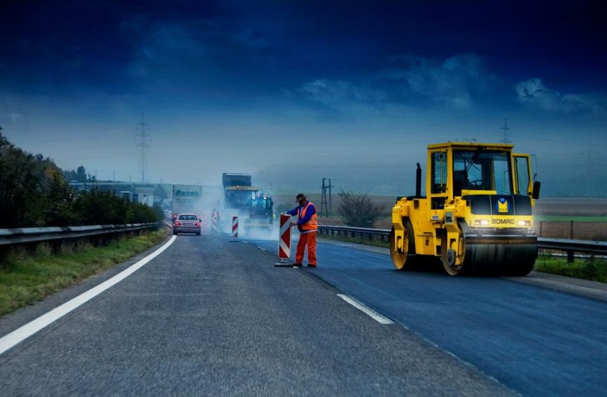
Drones provide real-time insights into construction progress, enabling project managers to monitor developments, identify potential issues, and ensure adherence to design specifications. This capability is particularly beneficial in large-scale infrastructure projects, where timely interventions can prevent costly delays. Drone Hub Nepal exemplifies this application by offering services that include aerial surveys, real-time monitoring, and detailed mapping, thereby enhancing the accuracy and efficiency of construction projects .
Improving Safety and Accessibility
In regions where access is limited or hazardous, drones offer a safer alternative for inspections and assessments. By minimizing the need for manual labor in dangerous environments, drones reduce the risk of accidents and injuries. This is particularly relevant in Nepal’s rugged landscapes, where traditional methods may expose workers to significant hazards.
Challenges and the Path Forward
Despite the evident benefits, the widespread adoption of drone technology in Nepal faces challenges. These include a lack of comprehensive regulations, limited awareness, and insufficient training among professionals. Initiatives like the Nepal Flying Labs are addressing these issues by building local capacity, promoting knowledge exchange, and facilitating the integration of drones into various sectors .
Furthermore, collaborations between governmental bodies, private enterprises, and international organizations are crucial. For instance, the World Bank’s support in enhancing climate resilience through drone technology underscores the importance of such partnerships in advancing Nepal’s construction industry .
Conclusion
Drones are poised to play a pivotal role in transforming Nepal’s construction landscape. By enhancing surveying accuracy, improving monitoring capabilities, and ensuring safety, drone technology offers a promising solution to the challenges posed by the country’s complex terrain. With continued investment in infrastructure, training, and regulatory frameworks, Nepal can fully harness the potential of drones to drive sustainable development in its construction sector.

 By
By